Huayhuash – A stunning 100km Peruvian trek with snow-capped mountains and blue lagoons [Day 339]
Note: We did this 8 day trek beginning 27 July 2014
What is Huayhuash?
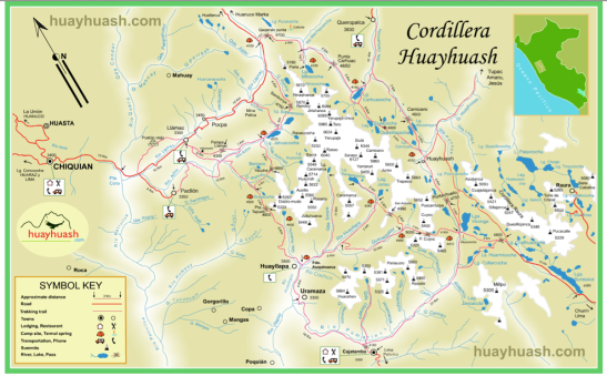
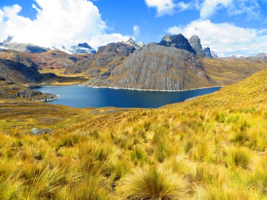
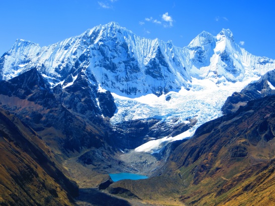
Huayhuash is a beautiful mountain range located in the Peruvian Andes. This mountain range is accessed by a 5 hour drive South East of Huaraz with some on sealed roads but most on rough and crazy dirt mountain roads. It has snow-capped mountains in excess of 6,000m altitude with crystal blue lakes, glaciers and arguably some of the best trekking in the world. This is not a national park, more about that later. The best time of year is the so called dry season of around June to August. You still need to expect freezing temperatures at night with potential for rain and snow.
Pronounciation
Let’s get the pronunciation sorted out first; think of it as “Why Wash”. There’s a bit of an inside joke there as the trek is typically 8 to 12 days in length depending on itinerary with usually only 1 wash at a hot spring mid-way. Deluxe tours will typically provide hot water at your tent door every morning for a quick freshen up or those on budget tours might like to bring some wet wipes.
Go solo or with a guided tour?
This is the toughest of questions behind how long should I go and kind of goes together with it. If you want to do the whole circuit of some 100km (60miles), with high passes over 5,000m and nothing under 3,000m then you need a minimum of 8 days to do it. There’s only one small town (Huayllapa) along the way where you could re-stock supplies and we’re not sure of what’s available or for what price. That means you’re carrying a lot of gear at high altitude on daily passes. Water is easily available in streams if you have some form of purification.
The trail itself at times is fairly tricky to find. Sure you’ll get it in the end, but you might find yourself backtracking at times to find the right points. Take a great map and research it properly before going solo.
It came down to cost vs benefit for us. We wanted to do the whole thing and wanted to enjoy it. We got it for 500 soles ($180) each including all the gear, meals, guide, donkeys and transport for 8 days. That’s only $22.50 per person per day.
On top of this you’ll want a tip for your guide and donkey driver and maybe a beer at the hot spring (9 soles each).
How long for?
8 days is standard for budget deals and 10-12 days is typically for the more eager to tick more boxes and get a few extra views and somewhat older or slower trekkers. The extra days are typically where you camp 2 nights in a location and spend the extra day hiking up to a different pass.
For our young and fast group, we covered the whole loop fairly easily in our 7 days of actual walking getting into camp with plenty of sunlight each day and on average maybe only 5-6 hours active walking each day, some more and some less as described later.
What is this about local entrance fees?
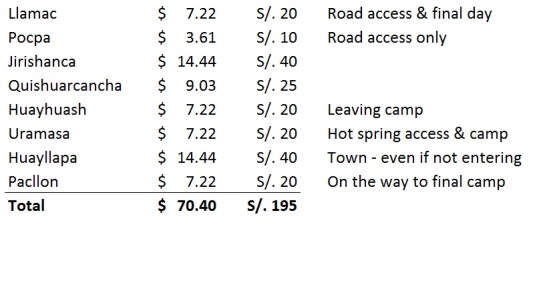
The other cost that everyone pays and is always paid by individuals on the trek in addition to any tour costs is entrance fees or “protection money”. As at July 2014 you want to budget 195 soles ($70.40) each for this and bring small notes as virtually no place had change especially for 100 sole notes. We’ve summarised the towns and roughly where we paid them in order of our circuit for others as a reference. This is paid to the communities in or around the area. There’s no one fee pays all ticket. This is because the communities don’t have an agreement on cost sharing so they collect it and set prices themselves. We were also told there would likely be randomly set camping fees along the way and large penalties (300 soles) for not camping in marked areas. The guides are also meant to make this process more honest and open. Our best suggestion is always ask for a receipt to try and make it more official. Some had pre-printed amounts, others were blank or hand written.
Did you say “Protection Money”?
This was what we thought was a joke reference we’d heard along the way before the trip. The theory was that at some point in recent years there were people getting robbed on the trek. The money is supposedly to help protect the users of the trail. Sounds a bit like the “Godfather” and mafia types to us and doesn’t really leave a good taste in your mouth as you pay quite considerable sums of money for seemingly little service.
At one of our campsites they specifically used the term protection money when asking for money.
In our minds we’re thinking they’re asking “Can you please pay your protection money or you might find a horse’s head in your tent tonight.”
So there you have it, we chose to go with a guided tour as it was good value for money and we wanted to just sit back and enjoy the scenery with all of our energy focussed on hiking.
Which company to go with?
We went with a company called Andean Summit. They’re located literally around the corner from the Casa de Guias in Huaraz. We had some mixed communication with what tour we wanted to do and waited an extra day to rest ourselves from Santa Cruz. We won’t go into all the details here, but in the end we negotiated directly with our guide and donkey driver to get 8 days and a “full circuit walk” which we’d all thought we’d paid for in the first place. Be sure to check prices and know what you want. We had someone on our tour pay $450, yes that’s dollars, so nearly 3 times what we paid. If you want budget, know your price and don’t carry high expectations. If you want luxury, small groups and custom itineraries then you can easily go up to $500-$600 per person. Times of year will also dictate how slowly or quickly a likeminded group can be created.
Day 1 Huaraz to Matacancha
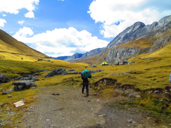
We got picked up at our Hostal at 9am in a regular combi van that would have the two of us, a Japanese couple (Rui & Sae) and two single guys from Singapore (Chin) and Germany (Max). This was looking great already as small groups are usually faster, easier to organise and better for getting to know each other. We would spend about 5 hours almost non-stop in the van arriving around 2pm, so bring something to eat if you get hungry easily. When we arrived, we setup camp as there was no trekking to be done today. Other tours leave at 2am or 6am and hike for a few hours to the next camp. Know your itinerary and confirm it if possible if you’re fussy or just be ready to be flexible.
We arrived to mostly blue skies and finding our guide waiting at the campsite for us. His name was Estaban and would be our leader of sorts and chef speaking in Spanish only for the next 8 days.
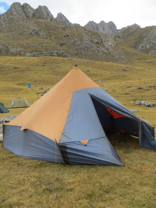
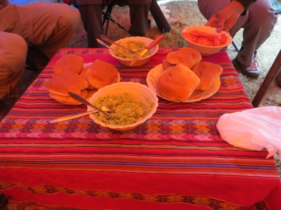
Estaban immediately got started on putting up tents and sorting out gear. Within the hour we were sitting in the dining tent with bread rolls, guacamole and tomato for a late lunch.
With not much else to do and the weather showing that dry season still meant you could get rain, we set about learning more about each other in the group and playing some cards for the rest of the afternoon.
Dinner consisting of a soup and a main would come and as with most days darkness meant we were soon in our tents and getting a good dose of sleep before an early morning wake up.
Day 2 Matacancha to Laguna Carhuacocha [15.2km]
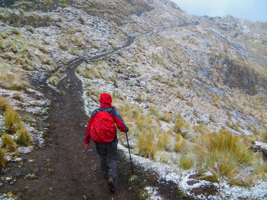
This was setup for a not so fun day or hiking. The weather was wet with a mix of rain/hail/snow and at times we felt painful sharp pings on our faces from the hail pelting from the sky. We departed camp with our wet weather gear already on and headed towards our first pass of Cacananpunta at 4,700m. We would quickly learn that our guide seemed to be Speedy Conzales, Max had endless amounts of energy and hiked quickly with Chin not far behind. Toby would usually sit in third place with Rodora, Rui and Sae rotating between the remaining places.
The first pass was reached in less than 2km of hiking and had many of us wondering what we’d gotten ourselves into. Muddy/slippery trails, grey skies, clouds covering the mountains, snow falling on us and a big question mark on what was to come for the next week. Where were the incredible views and dry weather?
We would descend down into a valley and continue following wet and muddy trails for the rest of the day. Estaban our guide would stop us at around 12.30pm for a simple lunch of bread, tuna and onion. It was at this point his hiking went to warp speed and we didn’t see him until camp. Questions certainly came into our mind of the need or reason why we’d even bothered with a guide, so we renamed him our cook.
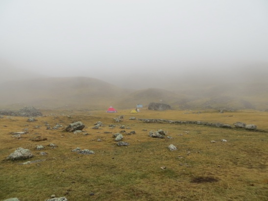
We eventually came upon the view of Laguna Carhuacocha and our campsite for the night. Low clouds were hiding an endless array of mountains that we only caught fleeting glimpses of until the rain set in again in the late afternoon. This would be another afternoon of cards in the dining tent getting to know each other.
Today was really quite tough. The hiking conditions were challenging; the weather never really gave us a break; we were wet, cold and covered in mud by the time we reached the camp. If today was an indication of what was to come we were unsure if we were going to handle 7 more days of this.
The deal with the weather Gods
For most of the day, Toby, never known as a religious person, had been trying to bargain with the rain/wind/snow/sun or other related God’s of the area to give us some nice weather. The deal went something along the lines of he would collect trash along the route (of which there was a lot) and we would get good weather while hiking. When we were in camp it could rain/hail/snow as much as it wanted, but we would get blue skies and clear views during the day.
Toby admits the first hours of trying in English were not successful, but a change for Spanish seemed to improve things. In fact the remaining days of hiking held quite true to the fact of good daily weather and regular bad weather in the evenings and nights.
We would find out later in the trip from Chin that “Pachamama” is the word for Mother Nature and holds a lot power over the weather in the beliefs of locals.
Day 3: Laguna Carhuacocha to Huayhuash [13.4km]
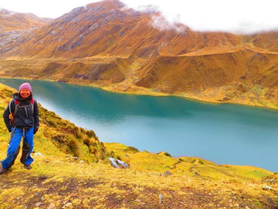
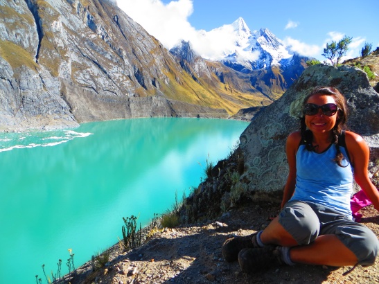
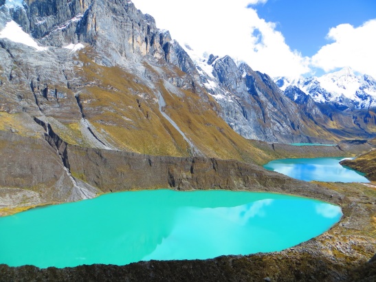
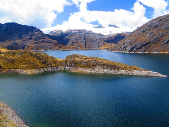
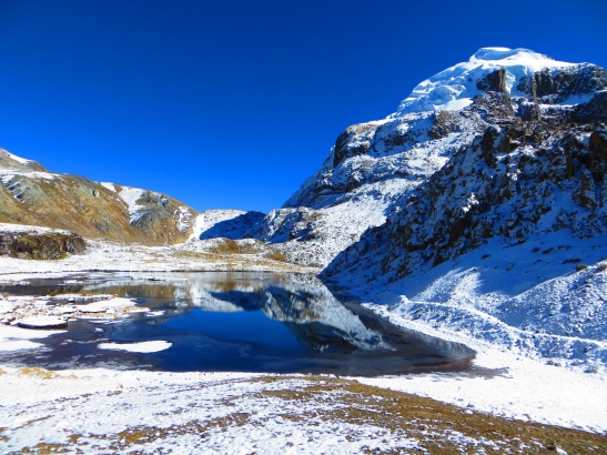
Our 6.30am wakeup call was followed by gasps of excitement streaming out of the tents. It was near enough to 0C as we poked our heads out to see that the sky had cleared and a magnificent view of the turquoise blue lagoon and surrounding snow-capped mountains stood before us.
These are the moments we were looking for. You could feel the collective energy and excitement in the dining tent over breakfast. Let’s get our hiking gear on and get on the trail. The only downside was putting on our wet shoes in the freezing morning. Rodora continually ran on the stop to ensure she still had sensation in her feet before commencing the hike.
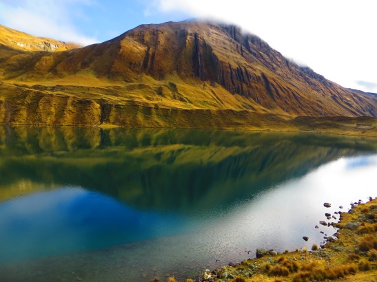
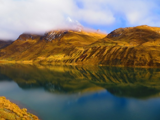
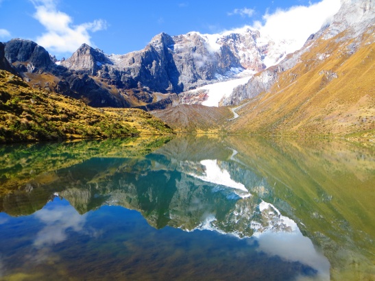
We circled around the Lagoon on our way to a set of 3 other lagoons and a 4,800m pass. Those first reflective and colourful views of the Lagoon really were stunning.
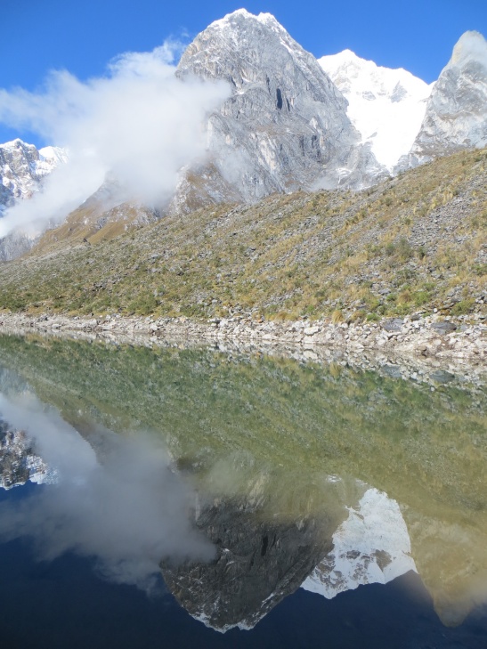
The other thing we’d been hearing through the night and morning were avalanches of varying sizes. Having spent the last few years in Canada and a good portion of winter in white coloured wilderness, this level of snow movement was still unknown to us. As we approached our first lagoon we would finally lock our eyes onto some of the biggest of the morning. The power really is unbelievable and to be so close but still feel safe is amazing. The most amazing thing was the sound of the avalanche. It was as loud as the rumble of thunder in a storm, yet so far away, making us realize how powerful Mother Nature actually is.
With the weather performing perfectly we all had our cameras out pointing in all directions.
We would spend nearly 2 hours hiking next to the lagoons and up towards the pass before we lost sight of them and gave the cameras a rest.
The next hour and a half push would take us to the top of the pass (4,800m) with some time to explore the top ridge line and the surrounding views.
We would continue down the valley, have lunch and reach camp by 2pm with a chance to wash some dirty clothing and get it dry in the sun and wind before night fall.
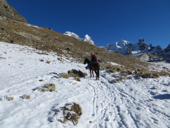
This was around the point in time that Rodora fell sick. This would be mostly a long string of vomiting and sleeping in the tent from late afternoon through to the next morning. Rodora would skip meals for the best part of 24 hours and use the horse (Juan) on an off for the next couple of days. It seemed to be exhaustion and not altitude sickness though as we did numerous acclimatisation hikes before this trek.
The worst moment for Rodora was throwing up on the horse. Estafan helped by holding her legs so she could fully lean over and throw up on the ground and stop throwing up on herself. The initial day on the horse was the worst as Rodora found it hard to stay upright and not fall asleep. However, it was fun watching the locals work with the donkeys (our porters) to move our gear between campsites. At times the donkeys would be naughty and try and run off down a mountain, but with one sound they made (nearly impossible to imitate), the donkey would get back in line with the others. It was amazing to see how fast they worked too. The tourists were huffing and puffing through the trail, which the locals with the donkeys seem to run the path and finish in record time.
Day 4: Huayhuash to Hot Springs [11.1km]
We awoke to very low clouds covering the campsite and a potential break in the Pachamama weather God agreement.
Today’s pass would be Portachuelo at 4,750m and come about half distance in the trek. A mix of conditions meant that our guide Estaban took Rodora on horse to the campsite while the rest of us made our own way. It was a fairly short hike overall and we were in camp by 1pm for a hot lunch, so it all ended well, but again just no real direct contact or need for a guide.
With the weather clearing as we got to the pass, we decided to stay to see if we could get some better photos and knowing it was a short day. We spent the best part of nearly 90 minutes up there.
We then approached some more colourful lagoons and sought to find an off trail route for some better photos.
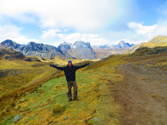
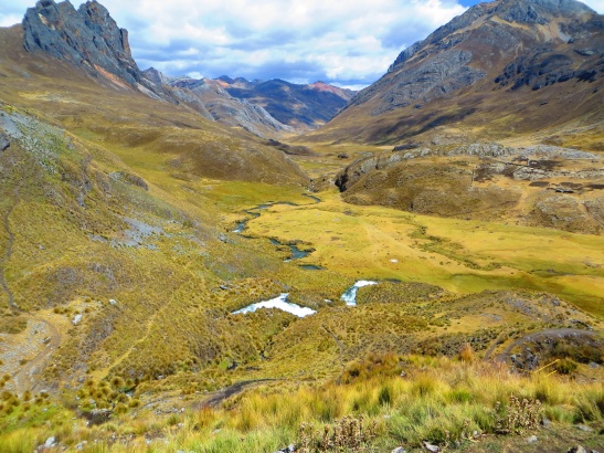
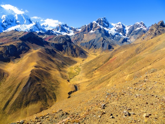
As we continued towards camp, the weather put on a glorious show of sunshine and blue skies to highlight the valley and surrounding mountains.
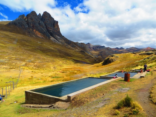
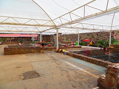
After lunch it was time to hand over more “Protection Money”. Amongst all our broken Spanish we manage to realise we each had to pay 20 soles ($7.20) and it would include access to the Hot Tubs heated by local hot spring water. Initially we thought it was payment just for the hot springs, but it was actually part of the local payment. Jumping into the hot tubs was a fantastically refreshing moment. As you can see from the photo below, there are two main rectangular pools and a smaller circular pool. This smaller pool is to be used for washing yourself including shampooing your hair. Then you step back into one of the bigger pools to relax. As mentioned earlier, you can also get yourself a beer here, though a 1 litre bottle costs 9 soles ($3.25); about 3 times the cost in a regular city store.
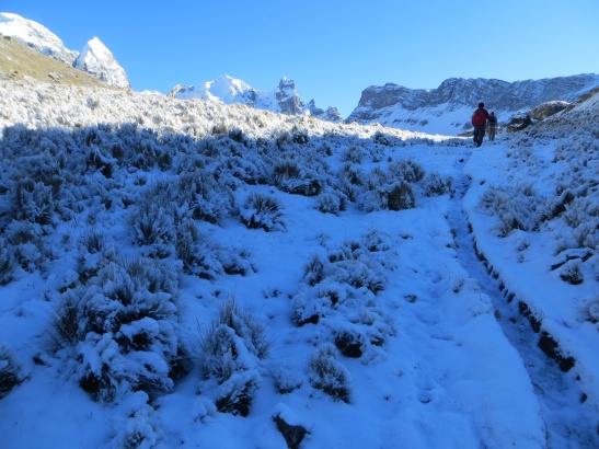
We did get a surprise just near dinner time with a short hail storm followed by a period of snow. So much fell that as we went to our tents to sleep that night you could put clear tracks in the ground with your feet.
Day 5: Hot Springs to Auquimarca [16.8km]
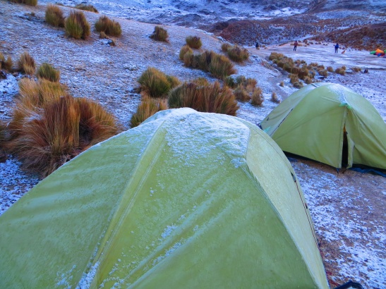
The next morning would reveal quite a lot of snowfall including a healthy amount on our tent. We both procrastinated getting out of our cozy warm sleeping bags dreading facing the cold outside.
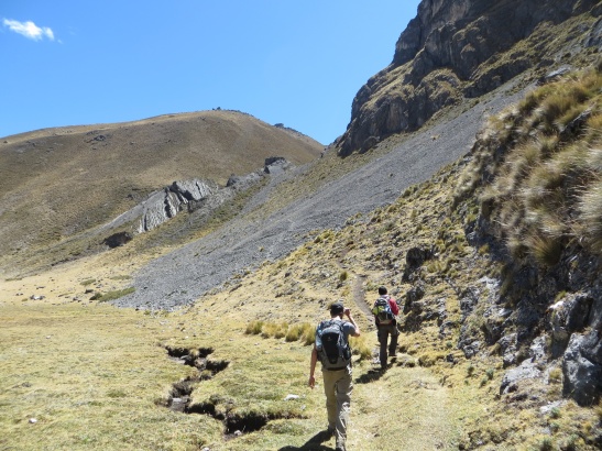
This would be our second longest distance day but toughest in terms of needing to cross two 5,000m passes in the same day. We had camped near 4,350m and would take 5km to get to the 5,000m pass at Punta Cuyoc with some real adventure in the snow along the way. Rodora was lucky to be on the horse for this one.
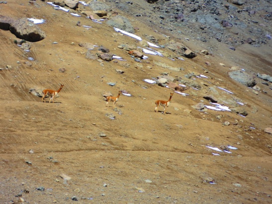
Near the top we would see a family of Vicunas (wild llamas) who were trying to keep as far away as possible from us.
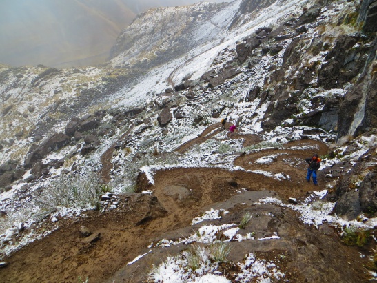
The path down was slippery and loose and needed full concentration. It wasn’t too long until we were down near 4,500m again and eating an early lunch around 11am. This was early preparations for the 4 guys to make an attempt on the San Antonio pass (5,000m). Rodora and Sae had both chosen against the idea and headed to camp early.
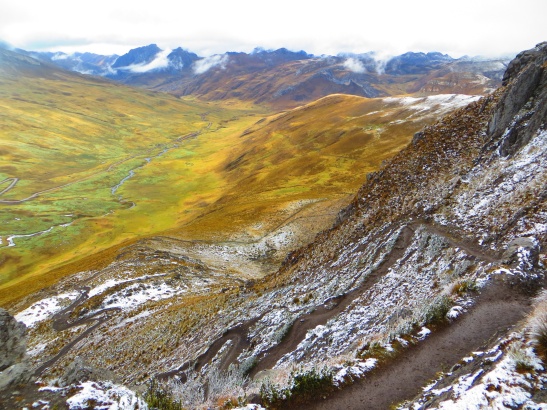
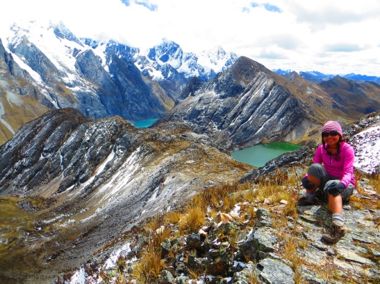
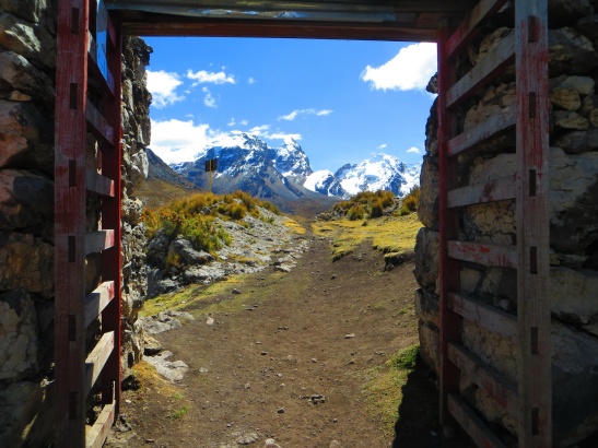
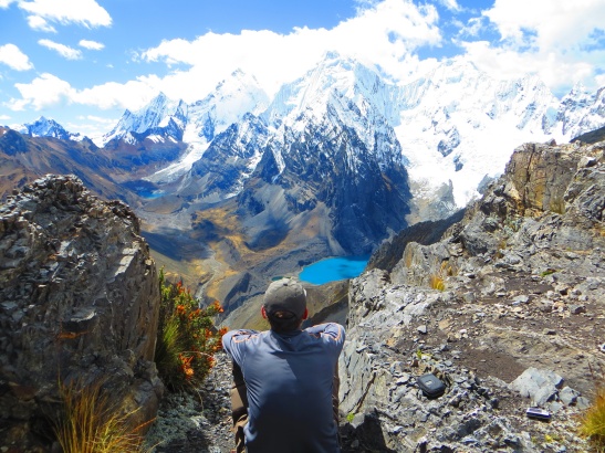
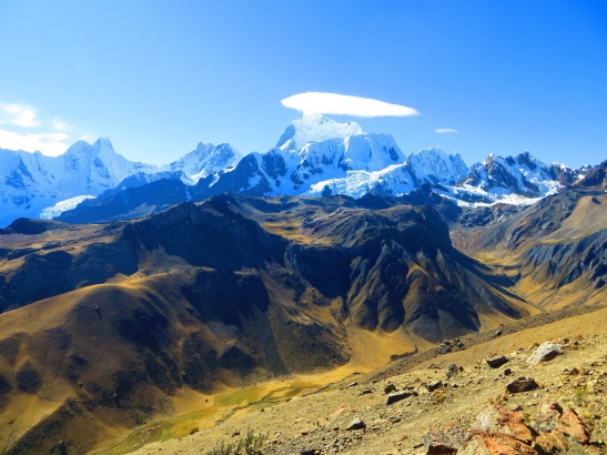
The path leading up to San Antonio is hard to believe it is regularly used. It is truly a steep and slippery path and requires some will and determination to get up on top. With Max leading the way and getting ahead, the 3 of us pushed on up to make it within 1 hour of hiking. Roughly 2km of distance and 500m altitude gain. The photos from here don’t really do justice to just how beautiful the scenery is from up here.
We would spend an hour up here watching clouds form shadows on the mountains and lakes. Our signal to exit was the group of 13 Israelis who had been trailing our trek arriving and making their standard obnoxious noise.
Some groups do go over this pass and follow a different route further into the circuit. We’re all still completely unsure as to where it continues exactly as the trail down the other side appears to be non-existent.
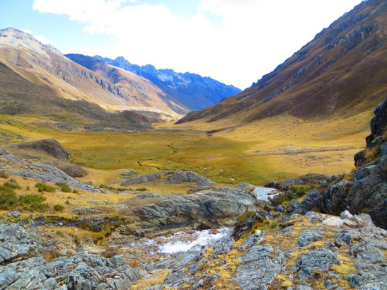
We would return near to where we had lunch but along a ridgeline trail and onwards towards camp down a tranquil valley and end off a great day of hiking.
Day 6: Auquimarca to Punta Tapush [17.9km]
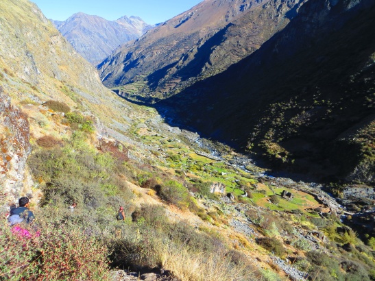
This would be the longest hiking day by distance, although the first 8 km and 2 hours would be downhill from 4,300m to 3,600m and the town of Huayllapa. Even though it was downhill, there were certainly some unfriendly steep and loose sections that demanded attention.
Our guide needed to buy some supplies from the town, which included a live chicken to be slaughtered later for dinner.
We decided to get on with the hiking knowing it was still a long day ahead. We would continue for the next 2 hours without seeing our guide and hoping our simple map was giving us the right direction. We would eventually meet up with our guide again and push up over Punta Tapush pass at 4,800m. It was only 30 minutes later we would arrive into camp near 3pm where we would have this place all to ourselves until the next morning.
Day 7: Punta Tapush to Laguna Jahuacocha [7.8km]
The previous days extra-long push was due to put us closer to a lookout point over 3 lagoons next to our final campsite. This would arguably be the easiest day of hiking for the trip with only 2.5 hours of active hiking but a lot of sitting and watching the spectacular views. We descended briefly from our campsite at 4,400m and pushed hard up over Punta Yauche pass at 4,800m. Our guide would take us straight up a small hardly cut trail in the side of the mountain as the donkey train would take a much longer cut switchback trail to the right. We both met close to the top.
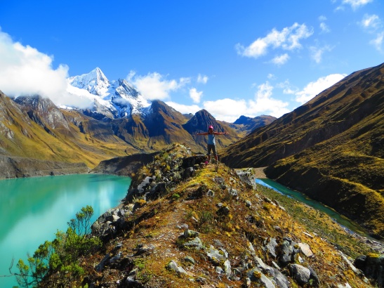
Once on top of the pass we would then follow a tiny trail cut into the side and then along a long ridge. The donkeys would take a different path down, presumably not as narrow or interesting.
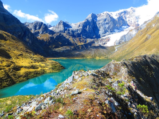
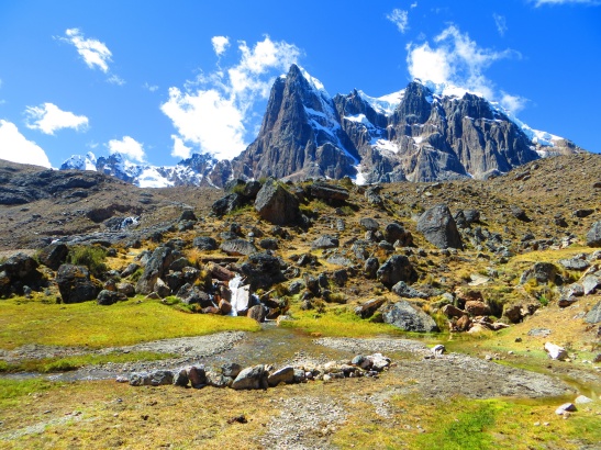
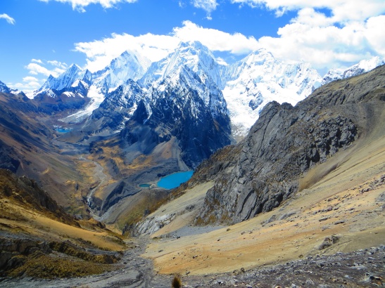
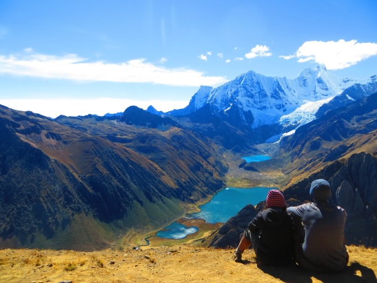
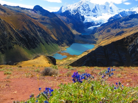
Walking on the ridge made us feel like we were on top of the world, as there were magnificent 360 views of the Huayhuash area all around us. After around 45 minutes of walking on the ridge, we finally came across the viewpoint of three blue lagoons below. Wow! Absolutely breathtaking! So much so we convinced our guide to go down to the campsite without us and we would meet him there for lunch. We wanted to make the most of the view. This would be similar to San Antonio pass where we would watch the clouds dance across the landscape and just soak it all in as we were the only group there.
The way down from here again was not clear and incredibly slippery. No trail markers exist here and it’s a bit of a guess as to whether a trail is animal or human. We would both slip a couple of times each but no injuries to mention. Along the way the mountain was covered in beautiful wildflowers of blue and yellow making spectacular photo opportunities with the lagoon in the distance.
We would spend the afternoon cleaning some clothes and trying to get them to dry in the sun.
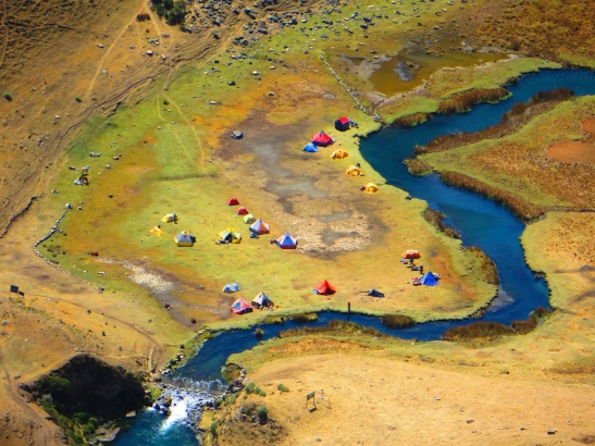
The sunset was spectacular this night and the following photo shows how scenic this campsite is, even though this is the closest to Llamac and gets a lot of people staying at it.
Day 8: Laguna Jahuacocha to Llamac [14km]
This would be Toby’s least favourite day. He had been battling with a diarrhoea problem since the late afternoon before. We had a dark wake up and set off walking in the dark around 5.30am. Toby would need to make several emergency bathroom stops along the route towards town and was not feeling well by the time we’d arrived into town at 9.15am. The only positive is that it happened at the right time of the trip as this is a fairly common occurrence. No one else in the group mentioned any problems, so it’s hard to even guess what caused it.
The hike itself was flat or downhill and even though it was lengthy, it was again a fairly easy day. The final bits leading into Llamac can get quite slippery, especially with tired legs so pay attention until the end.
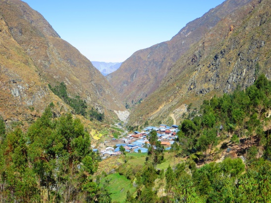
After unloading the donkeys in Llamac we got lucky to find an empty tourist bus on its way back to Huaraz. Our group was able to get a ride and we were back into Huaraz by around 1.30pm.
That marks the end of the trail with some 100km of walking, some horse riding and many thousands of metres of elevation change.
If you’re near this area of the world, we would highly recommend getting yourself out on this spectacular trek as it’s one of Peru’s best kept secrets. Make sure to consider the whole topic of altitude acclimatisation. It really can push the boundaries of your body if you don’t know what you’re doing, but everyone reacts and adapts differently. Getting your own supply of coco leaves can be useful here. We bought a small bag for 1 sole ($0.35) that would last 2 people the 8 day trek. We did have some supplied on the trek but it didn’t last more than a few days at which point Chin became our thankful supplier.
Plenty more to explore. Keep following the blog and our Flickr account for updates. http://www.flickr.com/photos/toraadventure/





Pingback: Choquequirao trek – A spectacular ruins hike away from the crowds [Day 350] | Tora Adventure
Pingback: Salkantay trek to the Inca wonder of Machu Picchu [Day 350] | Tora Adventure
hello, I see you did this 8 day trek, the laguna69 and santa cruz. which one/ones did you prefer? if you were to cut one, which one would it be? and how long were you resting between the treks in Huaraz? what were you doing those days? Thanks for all the detailed posts, seemed like an amazing experience!
The Huayhuash trek was definitely the best. We’ve travelled a lot and for sure Huayhuash is one that we constantly look back on and talk about. Santa Cruz is too touristy and not as spectacular but it is very easily accessible. Laguna 69 is awesome as a day trip or combined with Santa Cruz.
We rested a few days in between. Generally catching up on sleep, food, cleaning, admin along with some relaxation. Often it was trying to organise the next day trip or trek so it worked out nicely. There are quite a few easily accessible day trips to fill in some time. The markets are great to go through exploring. It truly is a wonderous area.
thanks a lot! this is what I was thinking, that we would skip Santa Cruz. Happy new year!